- Printed on Polypropylene (plastic)
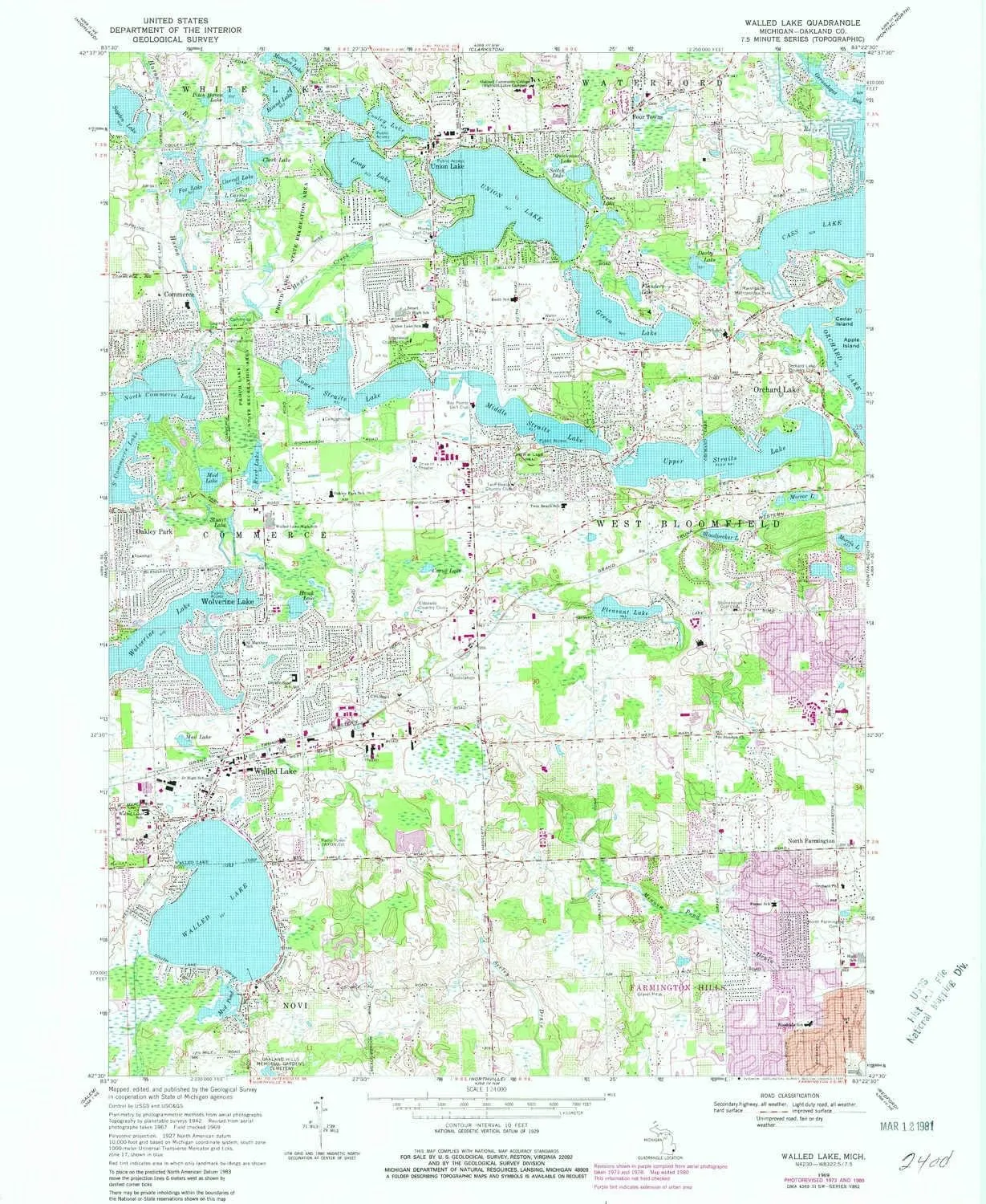
- USGS topographic map of Walled Lake, MI, at 1:24000 scale. Heavier material. Waterproof. Tear-resistant. Foldable. Perfect for the outdoors.
- Cities, towns, villages: Wolverine Lake,North Farmington,Commerce,Westacres,Four Towns,Union Lake,Oakley Park,Walled Lake
- Islands: Cedar Island
- Parks and forests: Marshbank Metropolitan Park,Pioneer Park,Theron Murray House Historical Marker,Wolverine Lake Historical Marker,Hiram Sims Memorial Park,Eber Durham House Historical Marker,Hickory Glen Park,Orchard Lake Chapel Historical Marker,Commerce Village Burying Ground Historical Marker,Commerce United Methodist Church Historical Marker,Four Towns Methodist Church Historical Marker,Stonecrest Historical Marker,Walter Flanders Historical Marker
")

")


