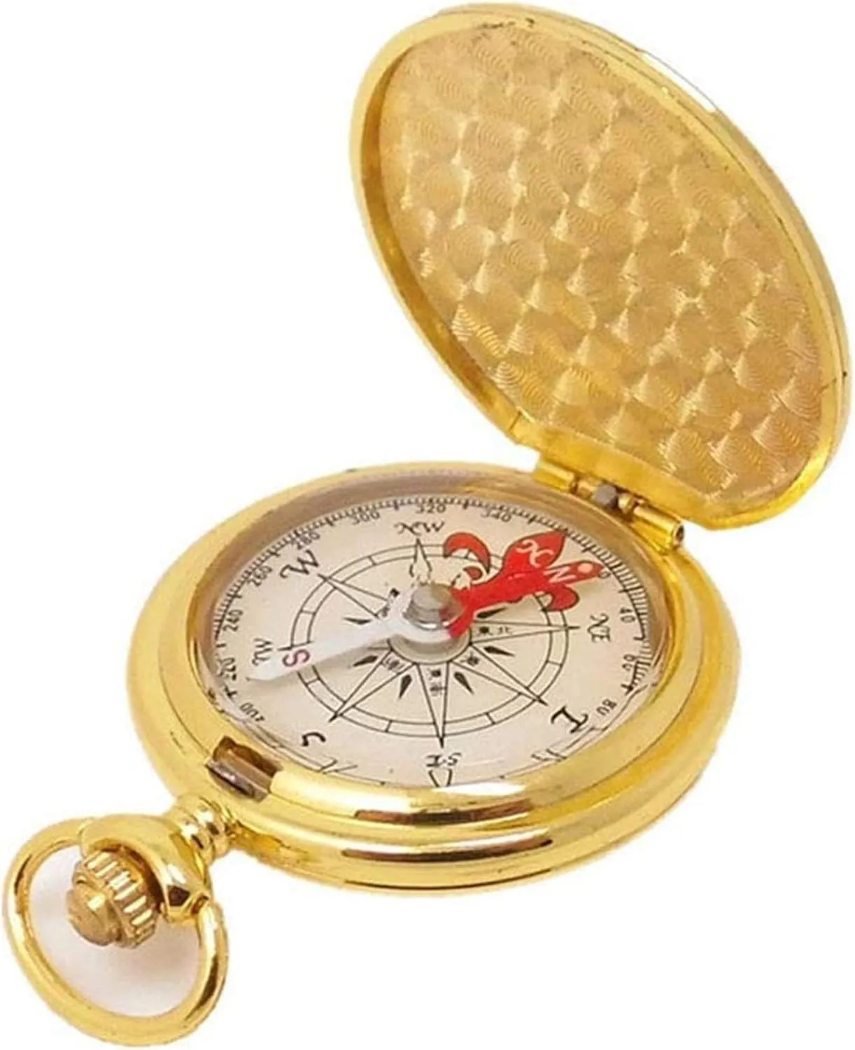
- Main Functions:Basic positioning, measuring azimuth, deflection angle, it's easy to read data in all weather at any time.excellent for camping, hiking, exploring, and other outdoor activities.The compass is medium in size and easy to carry. It is recommended to put it in your pocket, backpack or directly on your neck so that your direction will always be correct
Main Functions:Basic positioning, measuring azimuth, deflection angle, it's easy to read data in all weather at any time.excellent for camping, hiking, exploring, and other outdoor activities.The compass is medium in size and easy to carry. It is recommended to put it in your pocket, backpack or directly on your neck so that your direction will always be correct.Applicable occasions and people:This compass is waterproof and shockproof, suitable for driving, so this compass is a good tool for backpackers, campers, hikers, hunters, geologists to do outdoor activities.Dimensions: 65x46x15mm, Weight: 18g.Sports outdoor projects: trekking, rock clim and river raftingPurpose: donate to navigationIs it waterproof: yesWhether shockproof: YesWhether luminous display: YesCarrying method: hanging buttonDisplay mode: pointer type[Steps to know where you are now using the compass]:① Make the actual terrain and the map direction the same.②Find two visible targets on the map.③ Point the progress line (or long side) of the compass toward one of the targets④Find the circle with the arrow and the pointer (north) to match.⑤ Do not change the direction of the circle and place it in the north of the map.⑥ The tip of the long side of the compass matches the target on the map.⑦Draw a straight line when the arrow of the circle and the extension of the magnetic north line are drawn.⑧ Follow the same method for another target. The intersection of the two lines isWhere you are now.


")

")


")
